

| Time | Windmin/avg/max | Direction | Temperature°C | Humidity% | PressurehPa | Sun | Bat | Sig |
|---|
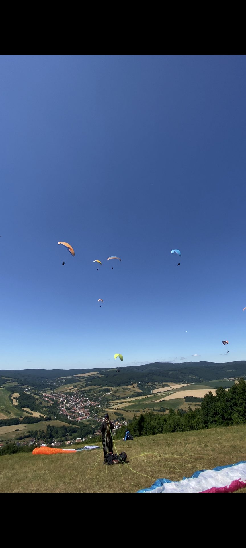
The village of Horná Súča is located in the Biele Karpaty mountains, about 8 km northwest of the town of Trenčín. The take-off site is directly above the village. The exact name of the hill is Holý vrch. It consists of a ridge about 1.5 km long, oriented N-NW. The hill can be reached in two ways. First – when entering H. Súča on the road from Dolná Súča, turn left at the first crossroads, direction Dúbrava. After 800 m, at the last house, the road splits and you need to turn left off the main road, and once more left onto a steep narrow paved lane. The road leads to a sheepfold, but before that you will notice the landing zone, where cars are left. The second way to get there is from the direction of Drietoma. On the main road No. 50 heading to the Czech Republic, turn right towards Dúbrava, direction H. Súča. While descending from the village down a steep road, watch for the turn already mentioned. The hike up to the take-off starts from the landing zone and takes just under 15 min. You go straight up along a well-trodden path. For those who prefer more comfort and are less fit, there is another, less steep path that goes to the right and bypasses the hill from behind. The take-off consists of a meadow measuring 50x50m. There are trees around, but they do not cause problems even in stronger wind. It is oriented towards the NW, but it is also possible to fly well on W and N. It is located on the left side of the ridge. In N wind, the entire 2 km ridge can be soared; in W wind direction there is only a small edge, so the number of paragliders is limited to 2 to 3. Good thermal conditions are guaranteed by the fields below the hill. After a cold front, this hill is ideal for long cross-country flights, especially in spring and early summer. Thermals here work until late evening hours. The hill is suitable for beginners as well as experienced pilots. After climbing 500 m above the take-off, it is no problem to reach Trenčín. It is not very suitable for return-to-launch disciplines. For flying, a wind speed of at least 2m/s is needed. The maximum limit is restricted only by the speed of the paraglider. Due to the terrain, there is no risk of strong turbulence. Landing is also problem-free. Extensive meadows and fields are located around the landing zone. The take-off is located near Trenčín airport, which is 10 km to the south and is no longer a CTR. During LOT flight operations at the airport, you need to report your activity, or report a flyover. Airport tower TN: phone number 032/6565255.


Click the button below to open the list of flights from this site.
Loading meteogram…
| Loading wind profile… |

Loading EPSgram…
Loading profiles…