
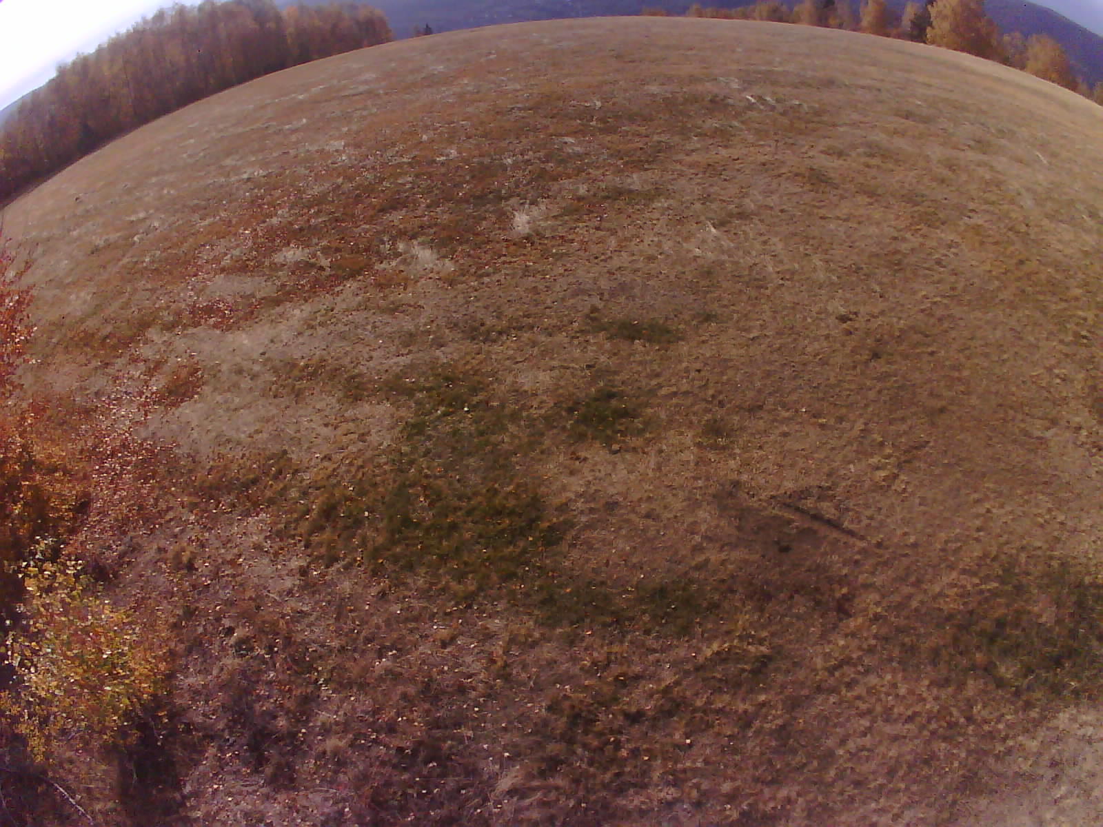
| Time | Windmin/avg/max | Direction | Temperature°C | Humidity% | PressurehPa | Sun | Bat | Sig |
|---|
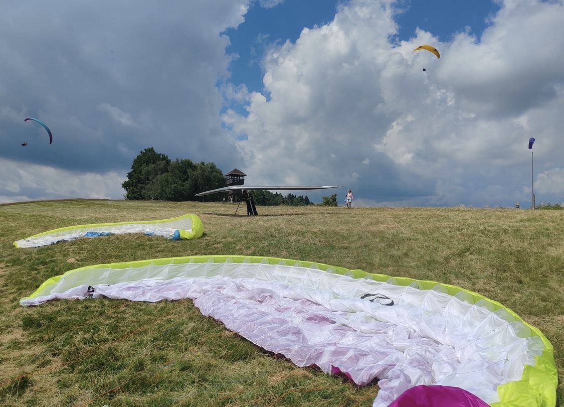
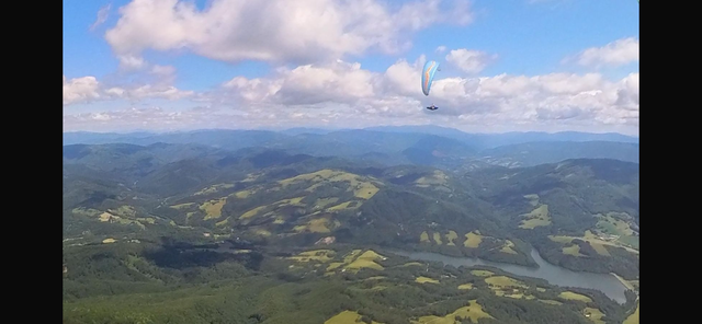
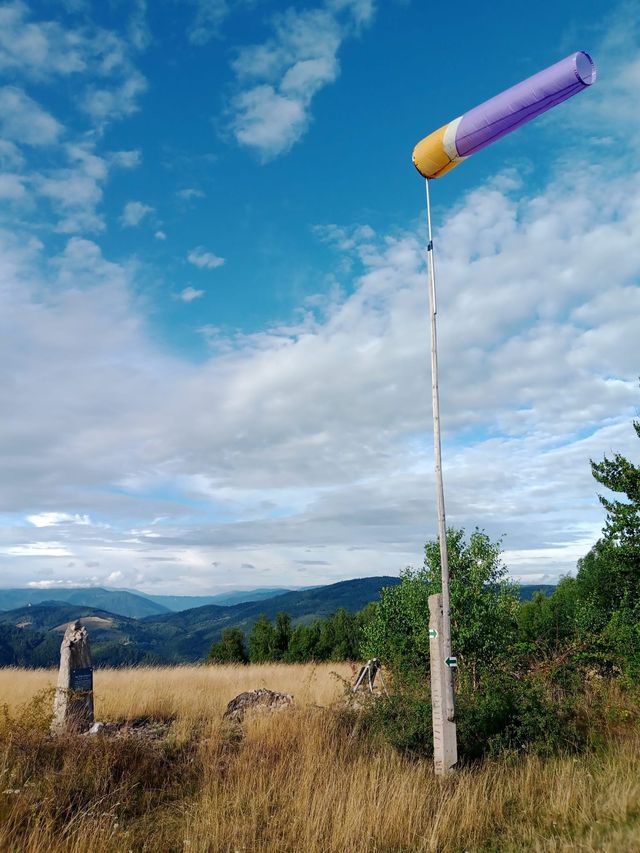
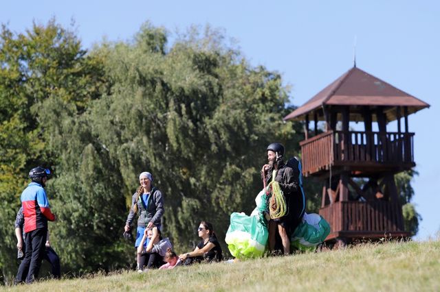
Take-off is on the South side towards Kokava, large take-off area, windsock at the take-off and flags, the main lift is found on the big hump, simple and safe take-off, take-off site manager Ing Peter Toth +421 911 877 061 Slopovo is among the most popular take-off sites in the south of central Slovakia. It is located at an altitude of approximately 823 m and offers a wide, safe take-off suitable for both beginners and experienced pilots. Thanks to the open terrain and a good elevation gain of around 450 m, it provides comfortable conditions for practice as well as long cross-country flights. The location is known for excellent potential for XC flying, and under good conditions allows flights towards the Muránska planina, the Low Tatras or Gemer. From the take-off there are beautiful views of the Klenovec water reservoir, the surrounding Malohont region, and in good visibility even the High Tatras. Nearby there is also the Slopovo lookout tower, which is a popular destination for hikers and pilots
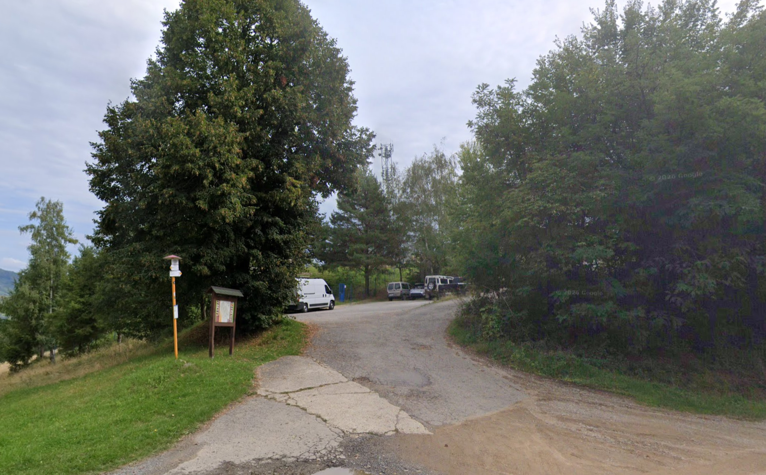
The capacity of the main parking lot is about 10 cars but just above it you can park along the road leading to Sinec. Keep it tidy.
From the Chorepa parking lot, across the road, following the yellow marked trail, 2/3 of the hike up is in the shade of trees, map is in mapy.com
Lúku predeľujú stromy a el drôty, taktiež sú na nej otravné kravy ale je to velmi veľka lúka, zatvárajte za sebou el oplotok.


Click the button below to open the list of flights from this site.
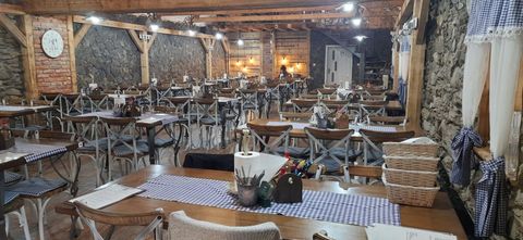
Known as the Reštika in Kokava, a popular destination for paraglider pilots, accommodation available
Show on the map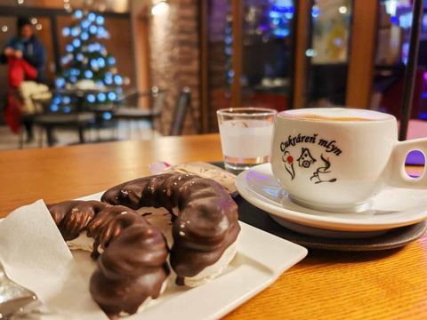
Excellent homemade cakes, coffee and atmosphere
Show on the mapLoading meteogram…
| Loading wind profile… |

Loading EPSgram…
Loading profiles…